A country built for a slower pace
Laos doesn't reward rushing. Towns run on their own schedule, meals stretch longer than planned, and the usual traveller instinct to pack in five sights a day tends to fade after the first couple of days. That's less a limitation than the actual appeal — this is a place to slow down rather than tick off a list.
Bordered by Vietnam, Cambodia, Thailand, Myanmar and China, Laos sits at the centre of the region without absorbing the crowds any of its neighbours pull in, which keeps its temples, markets and villages closer to daily life than to tourist infrastructure.
Luang Prabang and the temple towns
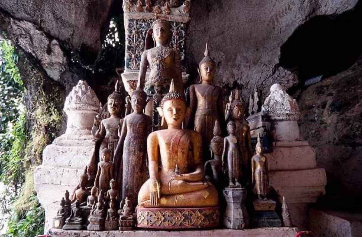
[Luang Prabang](destinations/luang-prabang), a UNESCO World Heritage town at the meeting point of the Mekong and Nam Khan rivers, is where most visitors base their first days. Dozens of gilded temples line streets low enough to walk in an afternoon, and the early-morning alms procession, when saffron-robed monks collect rice from kneeling residents, still runs as a quiet neighbourhood ritual rather than a staged photo call.
Climb Mount Phousi at sunset for a view over the rooftops and both rivers, or spend a slower morning at the night market and the weaving villages just outside town.
Life on the Mekong
The Mekong rises on the Tibetan Plateau and cuts through Laos for over a thousand kilometres before crossing into Cambodia and Vietnam, and in Laos it still functions as the backbone of daily life rather than a scenic backdrop — fishing boats, cargo barges and river ferries share the same water villages have depended on for generations.
Travelling along it, whether by slow boat between Luang Prabang and the Thai border or by kayak near [Vang Vieng](destinations/vang-vieng), puts you in direct contact with riverside communities in a way that a road trip mostly skips past.
Waterfalls, trekking and the Bolaven Plateau
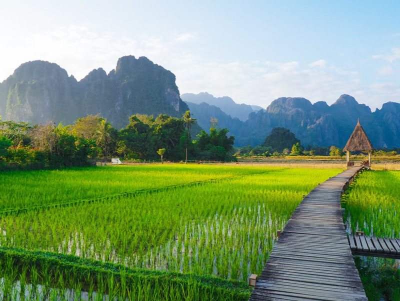
Laos has no coastline, but the mountains that dominate the north and the volcanic soil of the south more than make up for it. Kuang Si Falls, a short drive from Luang Prabang, tumbles through a series of turquoise pools that are cold enough for a proper swim rather than a quick dip.
- Nam Ha National Protected Area — multi-day trekking through forest villages in the far north.
- Bolaven Plateau, near [Pakse](destinations/pakse) — coffee farms, waterfalls and cooler highland air.
- Xieng Liab cave and the karst country around Thakhek, on the road toward the Thai border.
- Kuang Si Falls — layered pools outside Luang Prabang, best reached before the midday tour groups.
Si Phan Don: island time on the Mekong
In the far south, the Mekong widens and splits around thousands of small islands known as Si Phan Don, or the Four Thousand Islands. There's no real agenda here beyond renting a bicycle, watching the river from a hammock, and taking a short boat out to watch for the freshwater dolphins that still surface near the Cambodian border.
When to go
Laos runs on two seasons: rain settles in roughly May through October, then a dry stretch takes over from November into April, harsher overall than what its neighbours see. Provinces in the north, centre and east sit at higher elevation than the south, which means cooler nights the further you get from the Mekong plain.
Roads turn slippery during the wet months, which slows overland travel between towns; the dry season, especially November to February, gives the clearest skies and easiest driving, while March and April bring the year's hottest, haziest stretch before the rains return.
Plan it with us
Both of our Laos routes are built around the places above — temple towns, river travel and time in the mountains — and can also be combined with Vietnam and Cambodia in one longer trip.
Plan your trip
Tell us your dates, your group and what you want out of the trip. We reply with a costed itinerary within one working day.