Angkor: temples built for an empire
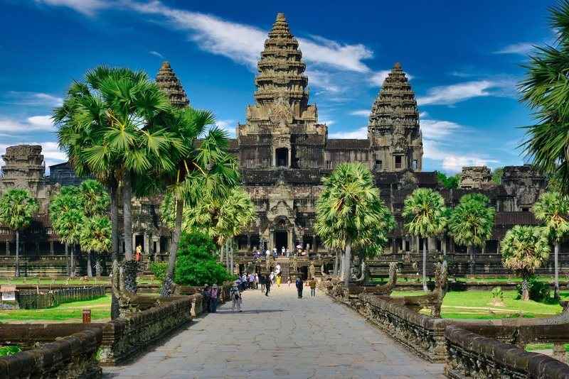
Angkor Wat was constructed in the early twelfth century as a state temple for the Khmer empire, which at its height controlled territory stretching well beyond Cambodia's current borders into what is now Vietnam, Laos and Thailand. It remains the largest religious monument on earth by ground area, and the empire behind it left dozens of other temple complexes scattered across the surrounding forest.
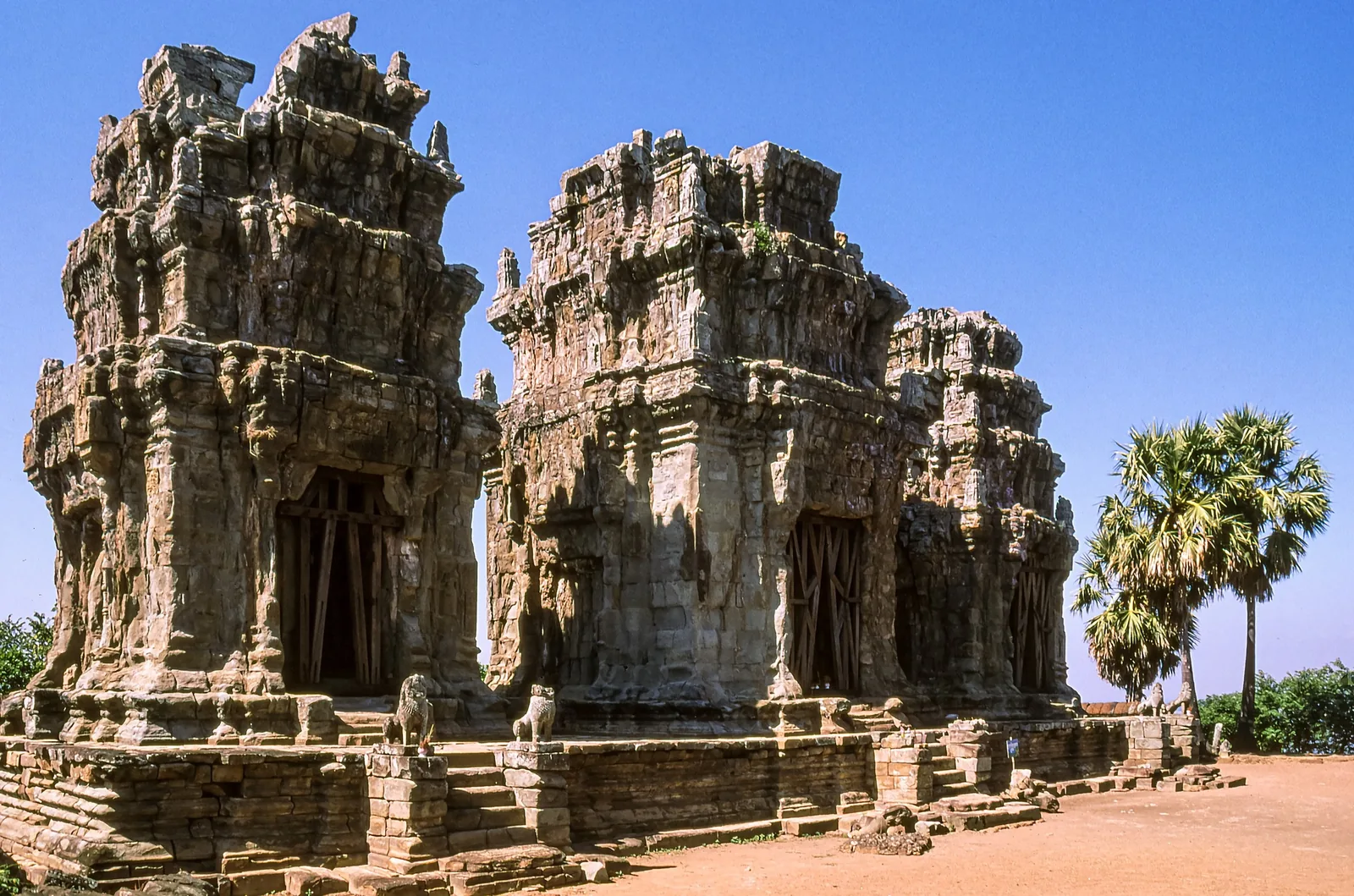
Ta Prohm, left largely as it was found with strangler fig roots wrapped around the stonework, sits a short drive from Angkor Wat and gives a sense of what the whole site looked like before restoration began. Banteay Kdei and Phnom Bakheng, the latter a hilltop temple with views back over the tree canopy toward Angkor Wat, round out a typical day among the ruins.
[Siem Reap](destinations/siem-reap), the modern town nearest the complex, exists almost entirely because of it, and makes the obvious base for a multi-day visit rather than a single rushed loop.
Beyond the temples: rivers, forest and coast
Most of Cambodia's land is rural, and the landscape shifts more than the temple photographs suggest — floating villages on Tonle Sap, dense lowland forest inland, and a stretch of coastline that gets a fraction of the visitors its beaches would draw elsewhere in the region.
Around Koh Kong and Tatai, kayaking through mangrove channels and short treks into the forest are common day activities, and the birdlife around Tonle Sap's flooded forest draws a steady stream of dedicated birdwatchers outside the main tourist season.
Life along Tonle Sap and the Mekong
Tonle Sap, Southeast Asia's largest freshwater lake, reverses its own flow twice a year as the Mekong floods, and entire communities live on it in houseboats that rise and fall with the water level rather than fixed docks. Fishing has sustained these villages for generations, and a boat trip out to one gives a far more direct sense of Cambodian daily life than a temple visit does.
Further south, the Mekong itself carries the same weight it does in Vietnam and Laos — a working river rather than scenery, still used for transport, trade and, in the dry season, farmland exposed as the water recedes.
A coastline most itineraries skip
Cambodia has a coastline, and it's frequently overlooked in favour of the temples further north. From [Sihanoukville](destinations/sihanoukville), ferries and speedboats reach a scatter of islands including Koh Rong and Koh Rong Samloem, where resorts remain small-scale compared with equivalents in Thailand.
Inland from the coast, the hill town of [Bokor](destinations/bokor-kampot) and the pepper-growing region around Kampot add a cooler, quieter counterpoint to both the temples and the beaches.
When to go
Cambodia's dry season runs roughly October to late April, driven by a north-east monsoon that keeps skies clear. Within it, November to January is the more comfortable stretch, with average temperatures in the mid-twenties, while the run-up to the wet season from April onward regularly pushes past 35 degrees.
The wet season runs May through October, carrying the bulk of the year's rainfall, though the early months tend to bring short afternoon storms rather than sustained downpours. Photographing the temples in overcast, rain-washed light is one advantage of visiting slightly outside the peak dry months.
Plan it with us
Both of our current itineraries that include Cambodia pair Angkor with river life in Vietnam's Mekong Delta, reflecting how closely the two countries' histories along the river are tied together.
Plan your trip
Tell us your dates, your group and what you want out of the trip. We reply with a costed itinerary within one working day.